|
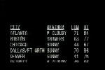
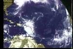
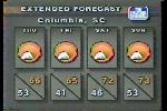
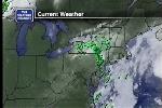
For the first 25 years or so, satellite viewers did not have their own local forecast. When the local forecast segment aired, they saw an evolving series of backgrounds and weather graphics.
During the first eight years or so, they saw some sort of background image. After that, they saw a slightly stripped-down version of the Travel Cities Forecast. In the mid-90s, they replaced the Travel Cities Forecast with a series of weather maps, radars, and satellite images.
Video Clips
Here are some examples of what satellite viewers saw.

1:59

2:02

2:21

1:36

1:10

8:07

3:25

2:11

1:31

1:59

1:28

1:59

1:58

1:29

1:57

1:42
|